
Topographic Surveys
Before you begin to do any major construction or modification projects or landscape improvements, it behooves you to get a topographic survey to classify the many landscape and natural features like the elevation of the parcel of land. Topographic surveys can be handy when a property that formerly had a different function is being utilized for something different like an abandoned mall or some other property that is now no longer being used and has incurred topographic changes that must be categorized. When this is the case, a topographic survey offers bird’s eye view of how the property has been altered, giving you a better handle on planning for future projects. Meridian Land Surveyors has many years of expertise in directing these surveys with extremely precise results, so if you are looking for you a land survey company near you we have your back.
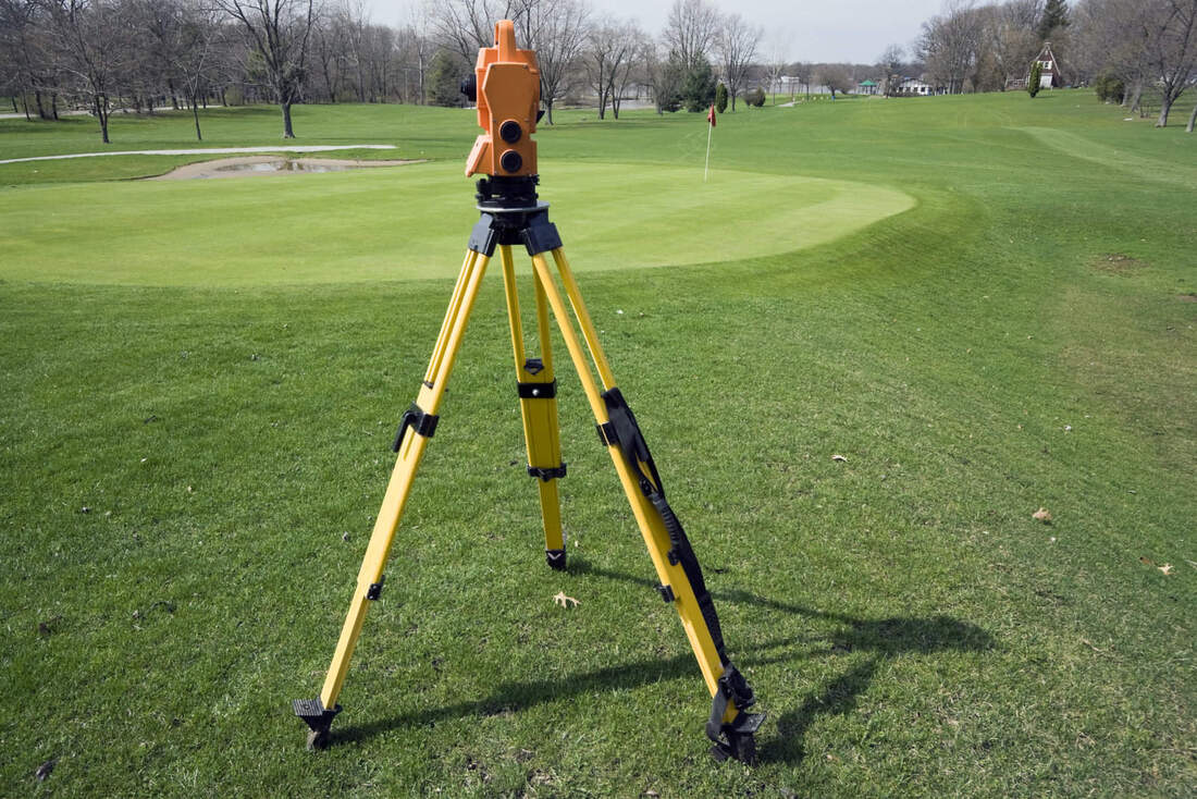
Why get topographic survey Topographic land surveys are useful for many different applications. Almost all construction projects start with a topographic survey, which tells you the beginning point of the property before any alterations are done. Engineering specialists and professional architects utilize these surveys to help them in completing buildings or other projects that will be made on the parcel of land because already existent terrain features may change their plans or designs on where exactly newly built structures can be built on the parcel of land. What is a Topographic survey While the typical land survey is largely used when delineating the property lines of a particular piece of property, a topographic survey is chiefly concerned with investigating the natural and artificial aspects that exist on the property that is going to be altered. These different features will include ravines, hills, trees, streams, buildings, fences, and various other features that have been done to alter the natural state of the land. A topographic survey displays the size, height, and location of these various features, in addition to noting the contours and gradual changes in the elevation in the land. Different than property line or residential surveys, a topographic survey concentrates more on the natural terrain elevations as opposed to the horizontal measurements of land features. Tools we use Many of these measurements are acquired by either using a high quality electronic EDM instrument or with an appropriate GPS unit. The outcomes of the topographic survey aren’t physically marked by iron rods or stakes, but are drawn on a map of the land. These days, advanced computer programs let us make digital versions of these maps, giving you easy to understand tools that will assist you with your project. The data can then be changed by specialists or designers to show you exactly how the natural topography of your land will be altered due to any future projects. Get a better perspective Topographic surveys are ideal for when you need to get a better perspective over your property, something akin to a “bird’s eye view” that can then give you a better idea of the scope and breadth of your territory. Any particular parcels of land that contain varied features and lots of area should definitely be surveyed to produce detailed topographic data that can give you an edge on planning for the future. |

|